Trailrunning
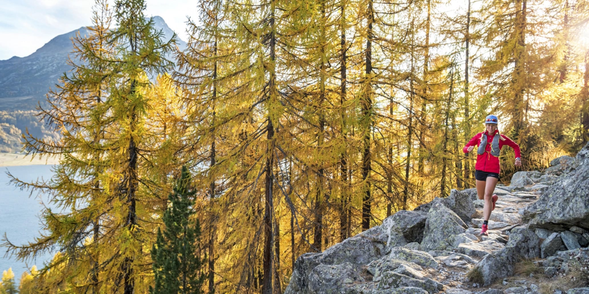
Over hill and dale
Anyone looking for a special kind of nature experience and really wanting to work out will find what they are looking for in trail running. Although time is not usually a priority, trail runners like to challenge themselves. Whether they are looking for a route with a particularly high elevation or a varied terrain is up to each skill level and fitness level. Whether you are a beginner or more experienced, the lake landscape and the unique mountain world around Sils have exciting trail running routes for every type of runner.
Top trailrunning tours

Intermediate
Grevasalvas
Above Lej da Segl lies Grevasalvas, the Engadine 'Heidi village', a quiet little village where the Heidi TV series was filmed in 1978. This route is really worthwhile, because of the beautiful view, but also because you cross the Lunghin Pass, a rare triple watershed.
14.81 km
2:20 h
969 hm
969 hm

Difficult
Lej da la Tscheppa – Trailtrophy route
If you want to run uphill, then this route is for you!
12.34 km
1:55 h
905 hm
905 hm

Intermediate
Trailrun Sils - Trail Trophy Route
Although the route circles Lake Sils, it does not do so comfortably along the lakeshore, but instead climbs up to Lägh da Lunghin at 2484 m above sea level. The triple watershed is a little higher still.
18.15 km
2:45 h
746 hm
746 hm
Something for everyone
The Fex Valley offers gently sloping, dense forests with a wide range of excellent rest areas and can be made as difficult as you like by varying the sides of the valley. If you prefer flat terrain, you can run along the Sils and Silvaplana lakes, and for those who like traverses, the Via Engiadina is ideal. There is no shortage of steep, alpine trail running routes, such as those to Piz Grevasalvas, and if you only like running uphill, you will find the best routes with the support of the Furtschellas and Corvatsch cable cars.
The right surface
For those who are not familiar with the relatively new term "trail running", this young sport can be described as jogging or running in a natural environment with minimal surface. Anyone who knows Sils knows that the surroundings are hard to beat in terms of nature and that the panorama is as unique as the terrain. From rooty single trails in God Laret, rocky hiking trails to Lej da la Tscheppa and grassy passages along the shores of Lake Silvaplana and Lake Sils, there is everything that makes a trail runner's heart beat faster.
Multi-day tours
The most famous multi-day tours in Graubünden pass through Sils. Those who like professionally organized tours can benefit from attractive packages with overnight stays, luggage transport and well-prepared travel documents.
Once around the Piz Bernina? That's exactly what the Bernina Tour does over 73 km. The Via Grischun goes across Graubünden in seven stages.

Intermediate
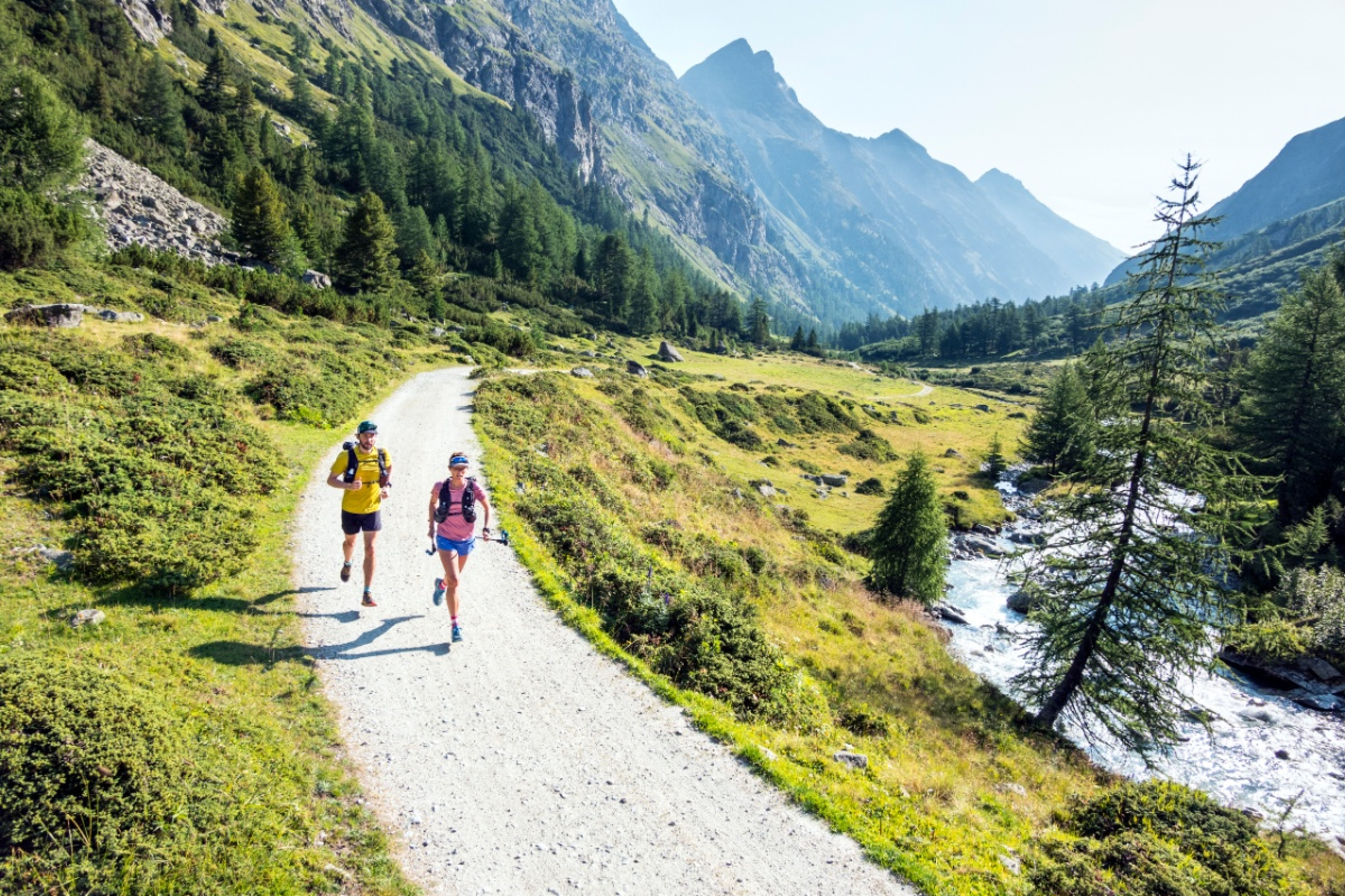
Via Grischuna Stage 3: Bergün - Spinas
The third stage of the Via Grischuna, which connects the two famous Swiss mountain destinations Davos Klosters and St. Moritz, starts in Bergün and leads over the Albulapass past the emerald-colored Lai da Palpuegna and via the Fuorcla Crap Alv to Spinas.
18.00 km
2:55 h
1102 hm
656 hm
Difficult
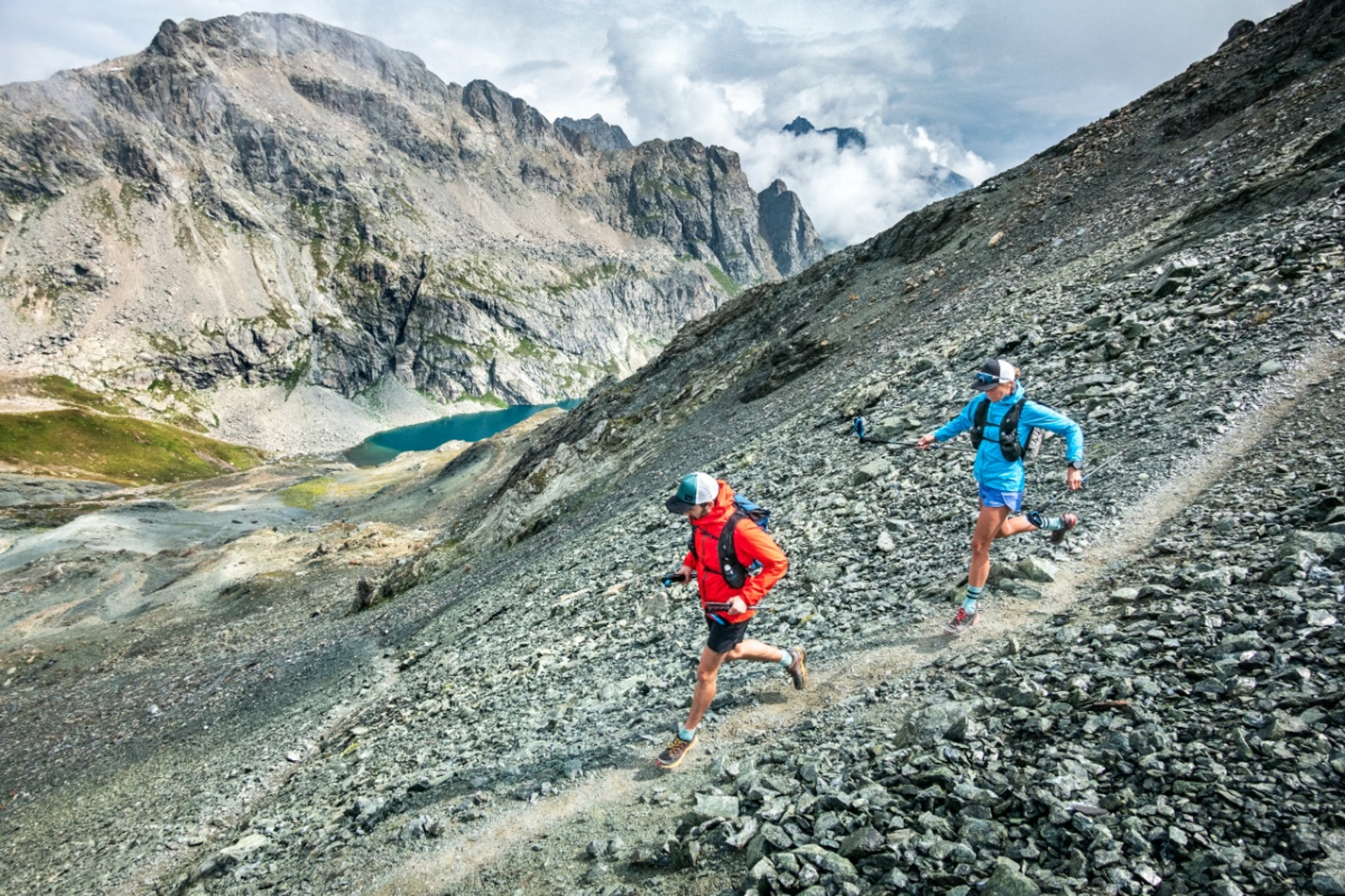
Via Grischuna Stage 4: Spinas - Bivio
The fourth stage of the Via Grischuna, which connects the two famous Swiss mountain destinations Davos Klosters and St. Moritz, begins in Spinas and leads via Fuorcla d'Agnel and Fuorcla digl Leget to Bivio.
27.52 km
4:20 h
1388 hm
1434 hm
Intermediate
Via Grischuna stage 5: Bivio - Sils Maria
The fifth stage of the Via Grischuna, which connects the two famous Swiss mountain destinations Davos Klosters and St. Moritz, starts in Bivio and leads over the Septimer Pass to Piz Lunghin and down to Sils Maria.
21.17 km
3:20 h
1223 hm
1185 hm

Intermediate
Via Grischuna stage 6: Sils Maria - Pontresina
Detour in Val Roseg! The sixth stage of the Via Grischuna, which connects the two famous Swiss mountain destinations Davos Klosters and St. Moritz, starts in Sils Maria and leads over the Fuorcla Surlej and through Val Roseg to Pontresina.
24.23 km
3:35 h
1068 hm
1100 hm

Difficult
Via Grischuna stage 7: Pontresina - St. Moritz
The seventh stage of the Via Grischuna, which connects the two famous Swiss mountain destinations Davos Klosters and St. Moritz, starts in Pontresina and leads over the Segantini hut and through the Stazerwald to St. Moritz.
23.47 km
3:30 h
1128 hm
1125 hm
Difficult
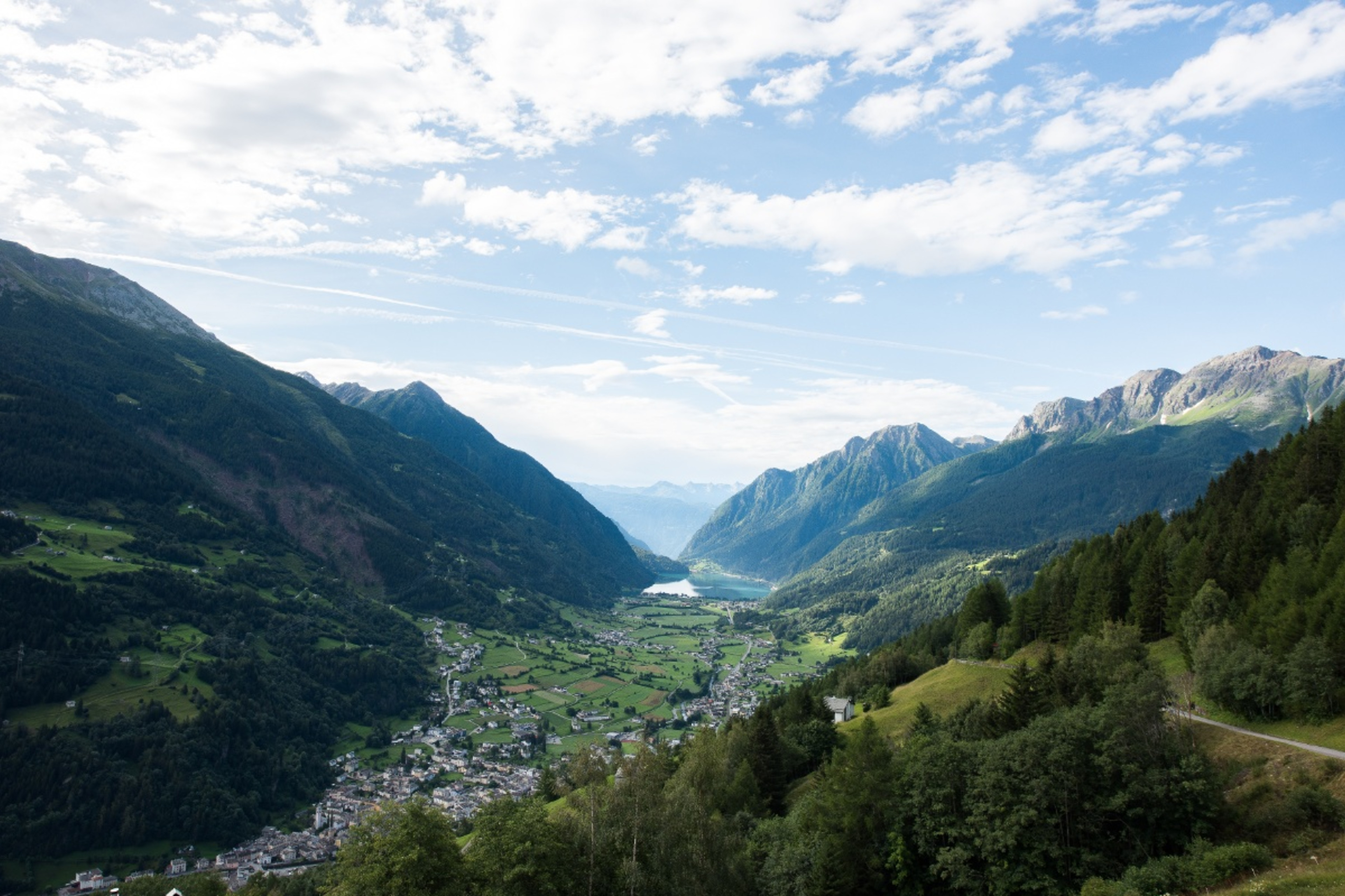
Bernina route Switzerland
Detour in Val Roseg! The Bernina route is a real adventure for experienced trail runners. Magnificent views of the glacier world of the Bernina massif accompany you on this exciting route from Val Poschiavo to the Bernina Pass, via Diavolezza to Pontresina, up to Fuorcla Surlej, across Sils and on to Maloja. Due to a trail closure between Sils Baselgia and Plaun da Lej, the route is led via Isola!
71.50 km
11:30 h
3965 hm
3172 hm
Orienteering: Running and searching
Every summer, an orienteering station network is set up on the Corvatsch and Furtschellas at over 2000 meters above sea level. From the beginning of July to the end of August, the 15 stations can be completed using the orienteering map. The orienteering map is available at the Furtschellas or Corvatsch valley station and at the Sils Tourist Information for CHF 5. Anyone who wants to try their hand at orienteering can take part in an orienteering race organized by the CO Engiadina.