Zum Hauptinhalt springenZur Navigation springenZur Fusszeile springen

Shop

Contact

Sils Tourismus (Backoffice)

Via da Marias 93

7514 Sils / Segl Maria

tourismus@sils.ch

+41 81 838 50 90

Gästeinformation Sils Tourist Information

Via da Marias 38

7514 Sils / Segl Maria

sils@engadin.ch

+41 81 838 50 50

Sils Tourismus

  • Team, information centres and contacts

  • Service & Emergency

  • Media & downloads

Partnerorganisationen

  • Municipality of Sils

  • Engadin Tourism

  • Graubünden Ferien

© Sils Tourismus 2026

Privacy Statement

Imprint

  1. Mountains & Railways

Corvatsch & Furtschellas

Corvatsch Furtschellas
Corvatsch / Furtschellas
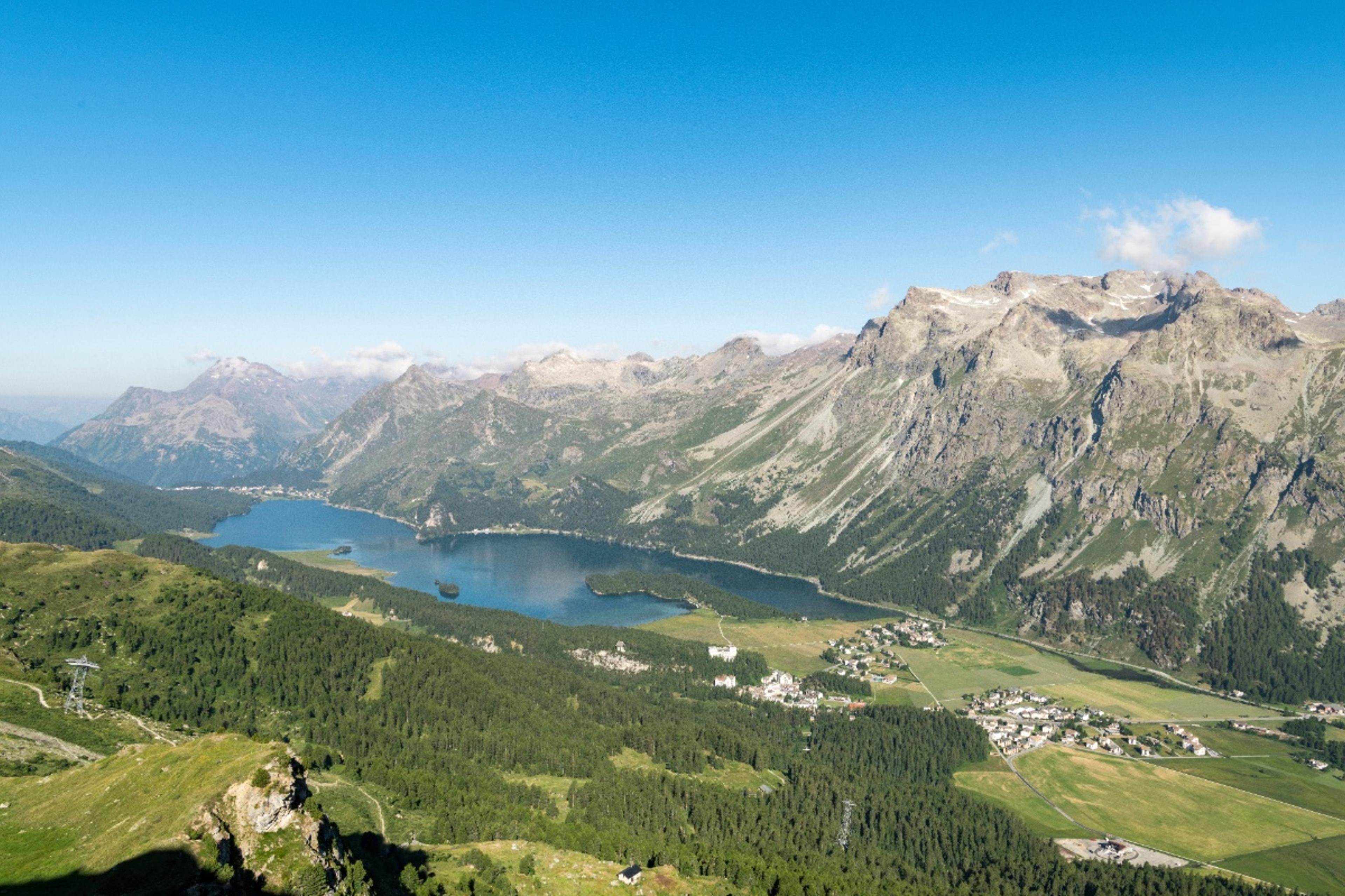
Welcome to the fabulous Furtschellas-Corvatsch skiing and hiking region - it's simply one of a kind! The region is nestled between imposing peaks and breathtaking scenery, making your visit here an unforgettable experience at any time of year.

Area & Arrival

With its countless hiking trails, 120 kilometres of ski slopes and the highest mountain station in the canton of Graubünden at 3,303 metres above sea level, the Furtschellas-Corvatsch ski and hiking region is truly spectacular!

The Engadin Bus travels through Sils in summer and winter and also stops at the Furtschellas valley station. You can find the online timetable here. In winter, there is also a free local bus service in Sils. It regularly makes its way around the village, and you can hop on almost anywhere. Those arriving by car will find a spacious car park at the Furtschellas valley station. If this car park happens to be completely full, there is also the large Sils / Val Fex multi-storey car park. From there, take the bus or walk for 10 minutes.

Learn more

Tour suggestions

Furtschellas - Lej Sgrischus - Val Fex - Sils

Difficult

Furtschellas - Lej Sgrischus - Val Fex - Sils

The route leads from the Furtschellas cable car via the Marmoré viewpoint into the dreamy and romantic Val Fex.

12.00 km

4:0 h

352 hm

875 hm

Rabgiusa circular hike

Easy

Rabgiusa circular hike

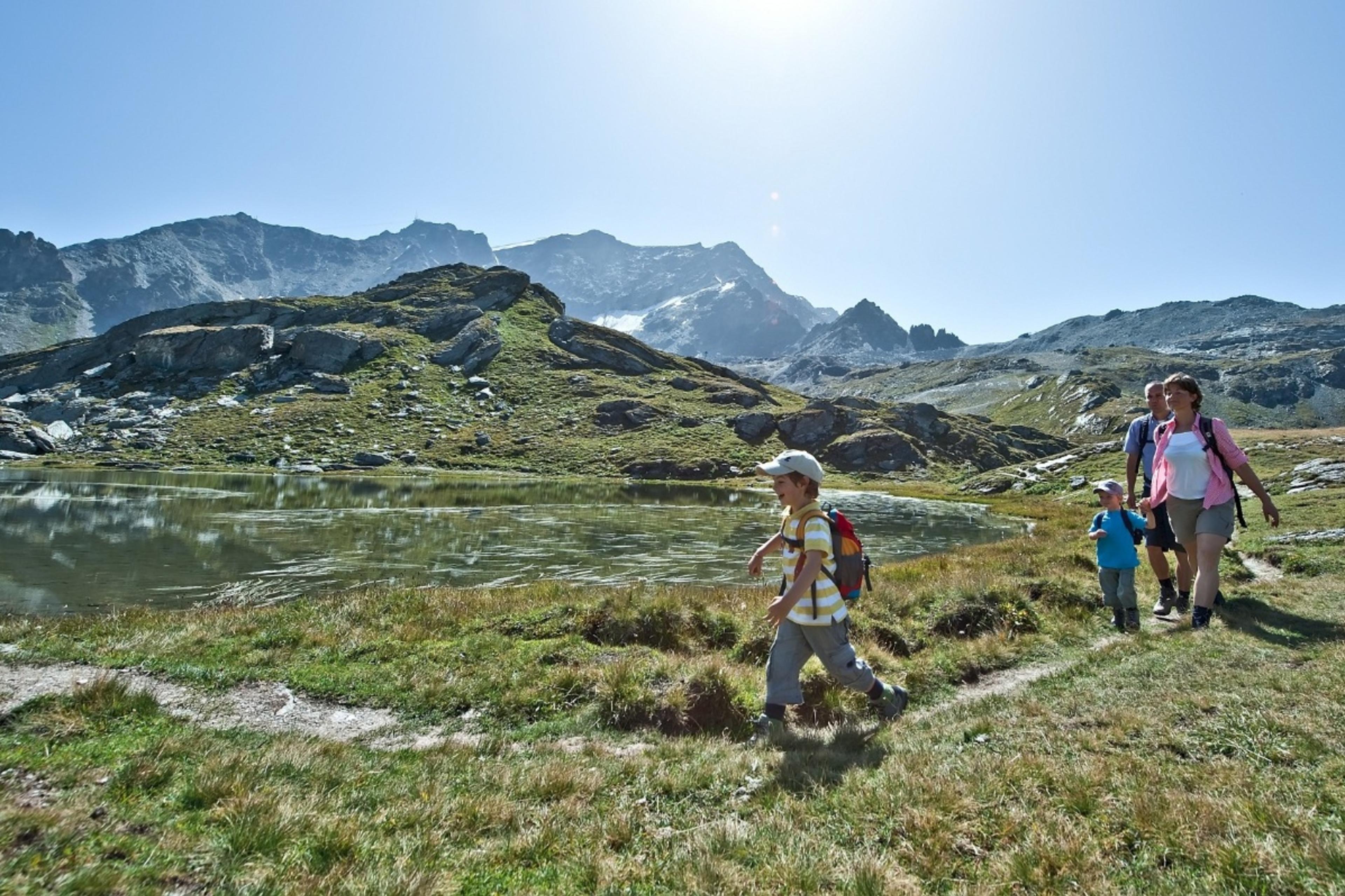
The Rabgiusa circular hike is an alternative to the water route, passing by four of the six crystal-clear lakes.

4.72 km

1:40 h

279 hm

266 hm

Corvatsch middle station Murtèl – Prugnieu – Alp Prasüra – Sils

Intermediate

Corvatsch middle station Murtèl – Prugnieu – Alp Prasüra – Sils

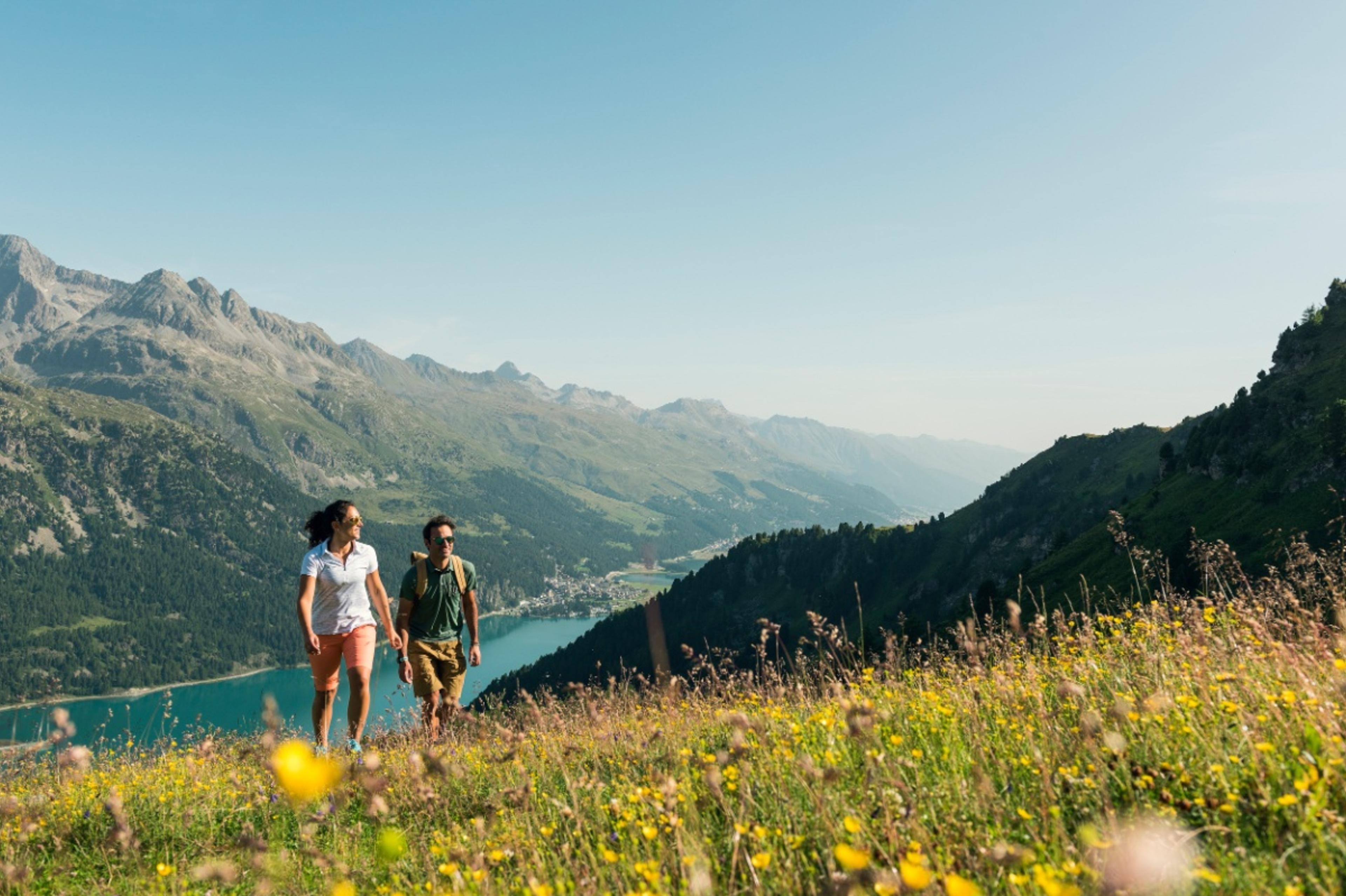
The panoramic hiking route high above Lake Silvaplana

8.02 km

3:0 h

13 hm

908 hm

721 Senda Ils Lejins Sils/Furtschellas

Intermediate

721 Senda Ils Lejins Sils/Furtschellas

Discover the unique high-alpine lakes and flora of the Upper Engadine on this circular hike to the 6 Lejins (Romansh for “small lakes”). The lakes contain minerals and rock types after which they are named.

6.05 km

2:32 h

393 hm

393 hm

Via Gastronomica: Furtschellas – Val Fex – Sils Maria

Intermediate

Via Gastronomica: Furtschellas – Val Fex – Sils Maria

Enjoyment hike with a breathtaking view.

6.83 km

2:10 h

27 hm

545 hm

Geschichte: In the paradise of mountain flowers
Inspiration

In the paradise of mountain flowers

Protected since 1954 and always a special jewel. The Fexer Alpine flora and where you can best admire it.